Documents
Filters
Forest
216
results

Scientific publication
Agriculture, Spatial Planning, Climate, Degradation-Restoration, Forest, Modeling, Remote sensing
From land productivity trends to land degradation assessment in Mozambique: Effects of climate, human activities and stakeholder definitions

Communication
Spatial Planning, Climate, Degradation-Restoration, Forest, REDD+, Remote sensing, ICT
Forest Watcher App to design protected area patroling system in Beampingaratsy forest corridor in Southeastern Madagascar

Communication
Agriculture, Agroforestry, Spatial Planning, Degradation-Restoration, Forest, Remote sensing
Support for the establishment of a Regional GIS unit for the Mahavotra Forestry, Agroforestry and Land Management Project

Scientific publication
Agriculture, Organic Agriculture, Agroecology, Climate, Degradation-Restoration, Forest
Effects of agroecological practices on soil organic carbon sequestration using synchronic and diachronic approaches in Madagascar
Project report
Agroecology, Biodiversity, Climate, Forest, Market, REDD+, Remote sensing
Namuli Initiative Progress Report January 2020 on creation of a new protected area in Mozambique

Technical document
Agriculture, Spatial Planning, Climate, Degradation-Restoration, Forest, Modeling, REDD+, Remote sensing
LAUREL An Analysis of Land Use Changes and Land Degradation in Mozambique

Technical document
Agriculture, Climate, Forest, Remote sensing
Land Use and Land Cover Map of Ribaue Mountains (Mount Ribaue and Mount M’paluwe)

Scientific publication
Climate, Degradation-Restoration, Forest, REDD+, Remote sensing
Sensitivity analysis of land productivity change calculation in Mozambique

Scientific publication
Agriculture, Spatial Planning, Climate, Degradation-Restoration, Forest, Modeling, Remote sensing
Landscape-scale spatial modelling of deforestation, land degradation, and regeneration using machine learning tools

Communication
Agriculture, Organic Agriculture, Spatial Planning, Bioenergy, Biodiversity, Climate, Degradation-Restoration, Forest, Market, REDD+, Remote sensing
Nitidæ's approach and learnings for landscape projects in South-Eastern Côte d'Ivoire
Project report
Agroecology, Biodiversity, Climate, Forest, Market, REDD+, Remote sensing
Namuli Initiative Progress Report January 2020 on creation of a new protected area in Mozambique

Technical document
Agroecology, Agroforestry, Biodiversity, Climate, Degradation-Restoration, Forest
Analysis of the dynamics and factors related to the Miombo forest regeneration around the Gilé National Reserve in Mozambique

Project report
Organic Agriculture, Agroforestry, Spatial Planning, Bioenergy, Biodiversity, Forest, Market, REDD+, Remote sensing
Third annual activity report of the Mé REDD+ Project (in french)

Technical document
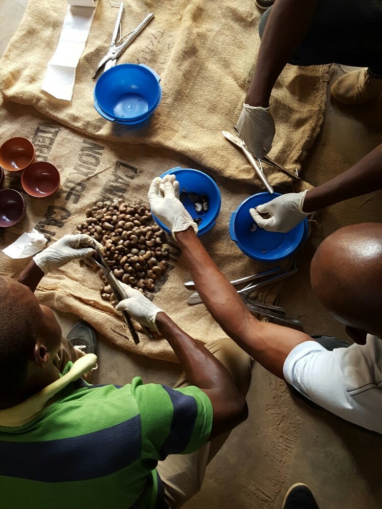
Agriculture, Agroecology, Agroforestry, Spatial Planning, Biodiversity, Climate, Degradation-Restoration, Forest
Agrarian diagnosis in the areas of extension of the TALAKY project, in the Anosy region in the south-east of Madagascar
Technical document
Agriculture, Organic Agriculture, Agroecology, Agroforestry, Spatial Planning, Biodiversity, Climate, Degradation-Restoration, Forest, Remote sensing