Recruitment of a Geomatics Engineer - Nitidae Madagascar
Context:
Nitidæ is an association that focuses on sustainable development, particularly in Africa. It works on projects linking environmental conservation, the circular economy, bioenergy and agriculture. It supports rural areas while promoting innovative solutions to environmental and economic issues.
In Madagascar, Nitidæ is piloting several projects in the district of Fort-Dauphin, in the Anosy region, aimed at the sustainable management of natural areas, the preservation of resources and the improvement of the living conditions of local communities.
Within this association, there is an R&D laboratory for spatial and environmental analysis, the N'Lab. It brings together a multidisciplinary team of researchers and doctoral students specialising in remote sensing, spatial modelling, geographic information systems, soil science, forest ecology, biodiversity and hydrology.
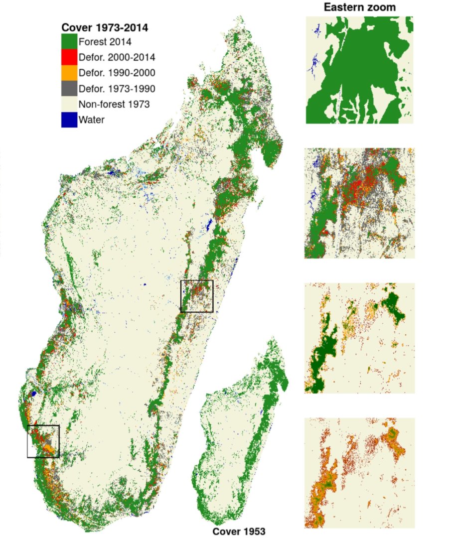
The N'Lab focuses on the observation of landscape and territorial dynamics, the rapid assessment of ecosystem services and the development of tools and methods to improve the management of development projects and assess their socio-environmental impacts.
Main tasks:
The technician will be required to:
•Develop cutting-edge tools (dashboard and/or geoportal) to monitor and analyse the efforts of the field team in the management of natural resources.
•Produce thematic maps for the projects.
•Work closely with the field team to meet their needs in terms of the analysis and integration of geographical data in the projects' geographic information systems (GIS).
•Manage the geospatial data generated by the activities of Nitidæ projects.
Management and maintenance of GIS systems:
•Develop technical solutions to meet mapping needs.
•Ensure the daily management of GIS tools (dashboards, geo-portals, data collection sheets).
• Prepare data for internal and external stakeholders (municipalities, service providers, partners).
Collection and analysis of geographical data:
• Organise and structure data from various sources (satellites, field surveys, environmental databases, etc.).
• Integrate data from project activities into a GIS.
•Train and assist field teams in the collection of geographical data related to the environment (topographical, ecological, biodiversity data, etc.).
•Keep the projects' geospatial databases up to date.
Processing and analysis of geographical data:
•Clean, transform and make geospatial data usable.
•Update and centralise geospatial databases on the project server.
•Carry out advanced spatial analyses (land use change, identification of risk areas, biodiversity assessment, etc.).
•Design thematic maps for biodiversity monitoring and environmental risk management.
•Produce geospatial analysis reports to support strategic decisions.
Creation of maps and geographical visualisations:
•Produce maps and visualisations tailored to the needs of the projects.
•Use GIS tools to generate thematic maps, field analyses and 3D models.
Monitoring and management of data quality:
•Manage metadata to ensure data traceability and compliance.
Technical support and training:
•Provide technical support to users of GIS systems.
•Train internal users in the use of GIS tools (dashboards, geo-portals).
•Monitor the use of GIS tools and promote good practices.
•Raise user awareness of map interpretation in an environmental context.
Technology watch:
•Monitor the latest advances in the field of GIS and geospatial technologies.
•Propose improvements or updates to the systems in line with technological developments.
Skills required:
•Proficiency in GIS & Remote Sensing software (QGIS, SAGA, GRASS, ArcGIS, ENVI, ERDAS, etc.).
•Knowledge of geospatial databases (PostGIS, SQLite, etc.).
•Programming skills (R, Python, etc.) to automate tasks.
•Experience in the use of visualisation tools (RShiny, Quarto, Power BI).
Qualifications:
•Bac +3 to Bac +5 in Geomatics, Geography, Environmental Sciences or related field.
•1 to 3 years' experience in a similar position, preferably in an environmental context (nature conservation, natural resource management).
Desired qualities:
•Excellent communication skills to share results and train users.
• Good knowledge of environmental data (biodiversity, land use planning, risk management).
• Rigour and precision in data processing.
• Ability to work in a team and collaborate with environmental experts. • Organisation and meeting deadlines.
• Interest in the sustainable management of natural resources and environmental conservation.
• Analytical mind and ability to solve complex problems.
• Autonomy, attention to detail and professional determination.
Job requirements:
The position is based in Antananarivo, in the Nitidæ office, with field assignments in the district of Fort-Dauphin (Anosy region). You will work closely with the Nitidæ team in Madagascar and will be under the supervision of the Country Representative as well as the head of the N'Lab Centre in Madagascar.
The position is a one-year fixed-term contract, renewable. It includes a three-month trial period, which can be extended once, for a maximum duration of six months.
Application:
The candidate must submit their CV and a covering letter to the N'Lab Nitidæ team by 30 April 2025 inclusive (before midnight) at the latest, to recrutement.nlab@nitidae.org with the email subject: ‘Application Geomatician Madagascar’.
The selected candidates will be invited to an interview and will take a test to assess their mastery of the skills required for the position.