Clovis Grinand

Biography
PhD in Functional Ecology and Agronomic Sciences (SupAgro, IRD and CIRAD) and specialized in Localized Information Systems for Spatial Planning (AgroParisTech), he is an expert in land use change monitoring using remote sensing, digital soil mapping and spatial modeling applied to forestry, agronomy and landscape ecology. He is the author of numerous international scientific publications.
He has worked for three years as a research engineer at IRD on pedology and soil carbon stock mapping. He joined the GoodPlanet Foundation in May 2011 to work on remote sensing and modelling work on projects related to forest and agriculture (REDD+). In 2012, he joined the Etc Terra team and initiated the creation of a Research and Development department (Nitidæ Lab'). He currently supervises several PhD students within the association, and conduct impact evaluation studies and provide technical support (capacity building, technology transfer) on many of the association's projects.
-
Research and development
- Development of innovative tools and methodology, quality control and accuracy assessment, capacity building, peer-review journal publication
-
Field of expertise
- Implementation of environmental studies involving soil science, forestry, agronomy, hydrology and earth observation expertise, from landscape to national scale.
-
Technical skills
- Ability to use a large panel of software within the domain of GIS, Database Management, Remote Sensing and Spatial Modelling.
-
Project management
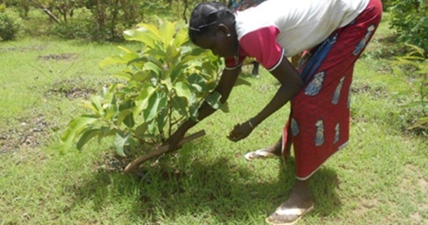
- Implementation of Landscape Management project, technical and financial proposal, multi stakeholder discussion, monitoring and reporting
Related projects
WAKANDA Landscape (West African Knowledge for Agriculture, Nature and Development Activities) - Participatory management of sustainable development o…
See more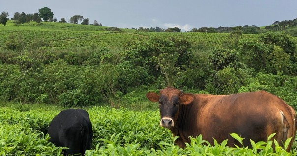
FILTEA - Creation of an organic tea supply in a biodiversity hotspot in Uganda
See more
TERRESIL - Territorial approach as a lever for socio-environmental resilience in 3 African landscapes of priority interest for biodiversity
See more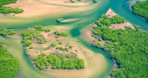
TEFESS - Initiative of local communities for the protection and management of the coastal zone of Sine Saloum in Senegal
See more
PONASI2 - Sustainable landscapes and inclusive supply chains
See more
TERRI4SOL - Implementation of a multifunctional management scenario of agricultural, forestry and post-forestry territories in the Mé region
See more
FORCI - Land use planning and forest restoration in Côte d'Ivoire
See more
LUCCIA - Co-development of a simulation and decision support tool for land use planning and impact assessment in the context of climate change
See more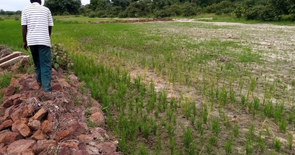
FICIEL - Support to the rice sector through innovative actions allowing an inclusive growth of the local economy
See more
DEFOREFF - Assessment of deforestation by country based on the criteria of the French Forest Footprint Framework
See more
ADRYADA - Technical assistance in the Haut-Sassandra classified forest and its periphery in Côte d'Ivoire
See more
NEUTRACA - Carbon footprint of the PROTEGE project and recommandations development for neutralization prospects
See more
FORECO - Forestry territories and innovative sectors for the forest and the local economy
See more
LUPS - Development of a spatial module for the Land-Use Planner tool
See more
JURIDICI - Develop a jurisdictional approach proposal to contribute to the Côte d'Ivoire-EU policy dialogue on Côte d'Ivoire's sustainable cocoa stra…
See more
BIOSPHER - Scaling-up study of a REDD+ project in the Saloum delta biosphere reserve in Senegal
See more
RIBAUE SKY ISLAND - Promote the sustainable management of Monts Ribaue and M'paluwe by involving local communities
See more
TALAKY - Forests conservation and valorization, Agriculture intensification and ecological diversification, Sustainable concerted development
See more
TRACAO - Evaluate the feasibility of a traceability and transparency system in the cocoa sector in Côte d'Ivoire and Ghana
See more
Mé REDD+ Project - To tackle deforestation and forest degradation in the Mé region
See more
CARBOFOREST - Assessment of the REDD+ potential of a forest in Côte d'Ivoire
See more
LAUREL - Land Use Planning for Enhanced Resilience of Landscapes in Mozambique
See more
BIOSCENEMADA - Scenarios of biodiversity evolution under the combined effect of climate change and deforestation in Madagascar
See more
MAHAVOTRA 2 - Forestry, agroforestry and land use planning in Madagascar - Itasy region
See more
GEO4AGRI - Participation in the feasibility study of the GeoForAgri project
See more
FORAE - Projet foresterie et agroécologie en zone de montagne au Nord-Laos, Viengkham, province de Luang Prabang
See more
BLUEMANG - Mangrove deforestation analysis in North-West Madagascar
See more
PHCF2 - Holistic Conservation Programme for Forests in Madagascar (Phase 2)
See more
KEUR SAMBEL - Fighting against deforestation and rural development in Keur Sambel forest in Senegal
See more
RN Gilé - Pilot project to mitigate deforestation and Miombo forest degradation in the Gilé National Reserve, Mozambique
See more
MAHAVOTRA - Pilot project to evaluate the carbon impact through changes in agricultural practices in Madagascar
See more
PAD NORD-HAÏTI - Sustainable management of Limbé watershed and measurement of the environmental impact of agricultural activities
See more
PARC MIKEA - Study on historical deforestation and scenarios of future deforestation
See more
ZAMBAZAMBA - Pilot Project for Integrated Water Resources Management (IWRM) Coordination
See more
ZILMP - Background study for the preparation of the Zambezia Integrated Landscapes Management Program
See more
QGISF - QGIS basic training for Engineer Without Border (EWB)
See more
SIGLY - Training course on QGIS for agents of the Metropole de Lyon in Madagascar
See more
PERR-FH - Eco-Regional REDD+ Project - Rainforests of Madagascar
See moreFOMANAP - Training of Madagascar National Parks : following-up deforestation, carbon measurement, GIS ...
See more
FONE - Technical Assistance to institutions in charge of REDD+ process
See more